LiDAR point clouds
Measure the structure.
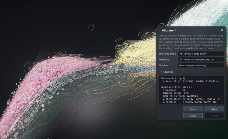
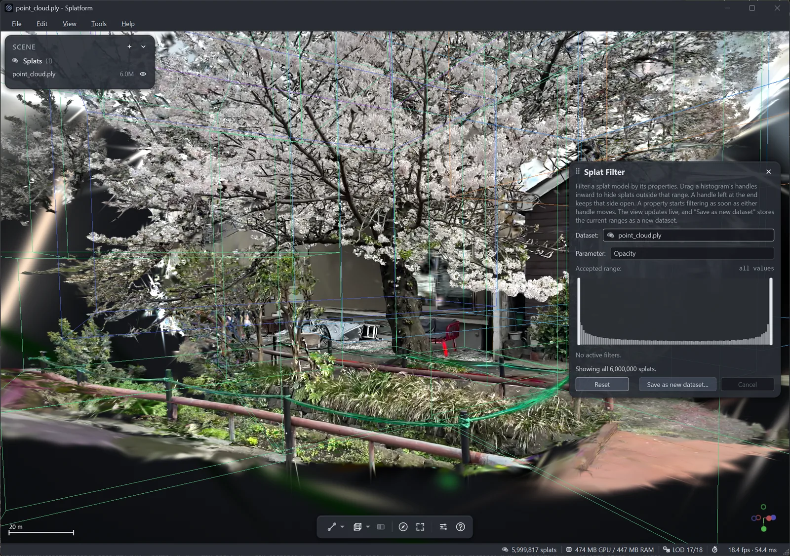
Use precise point samples to verify coordinates, measure distances, compare surfaces, and keep the project in its georeferenced frame.
- Check survey coordinates
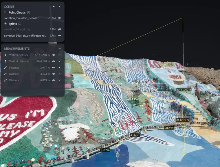
- Measure distance, slope, area, and height
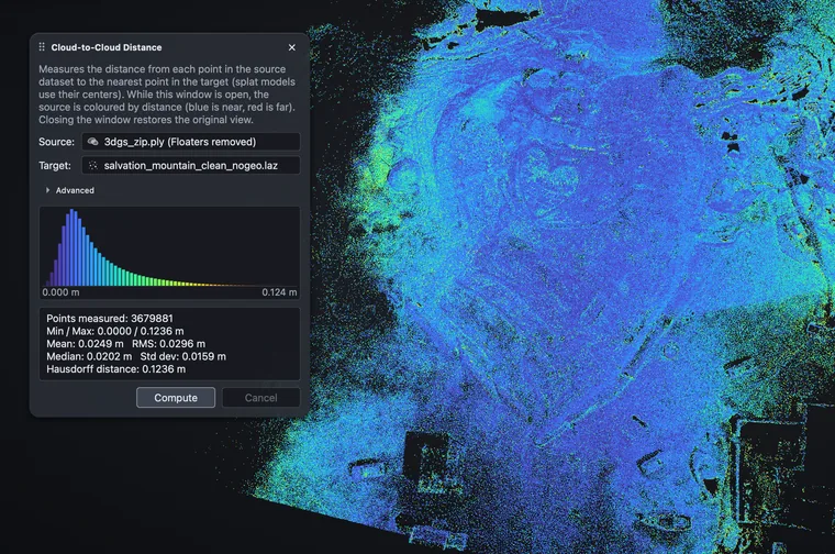
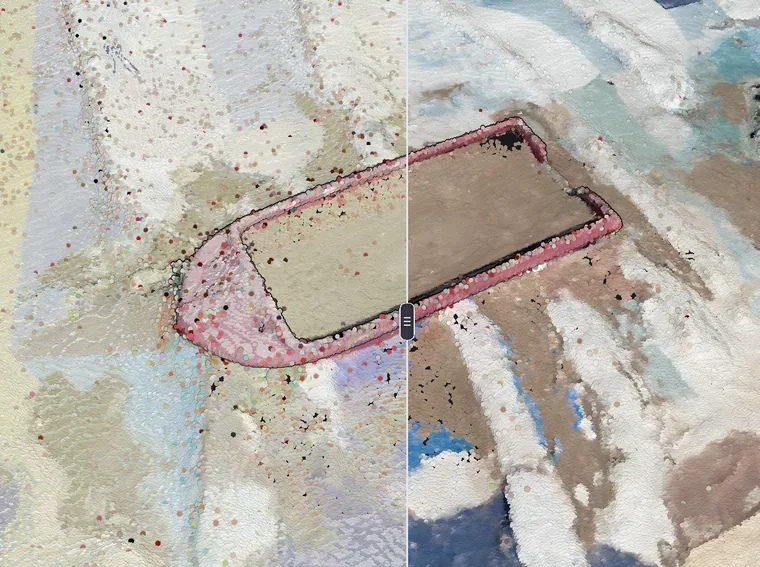
- Map surface-to-surface change